MAIN |
METHODOLGY |
WORKFLOW |
INSTRUMENTS AND TOOLS
Instruments and tools
Forest inventory was taken with a properly selected set of tools using Field-Map, which is specifically designed to help plan the systematic collection of forest assessment data, to support data collection and the statistical processing of data records. As it offers functionalities that meet special needs perfectly, Field-Map has been used extensively worldwide.
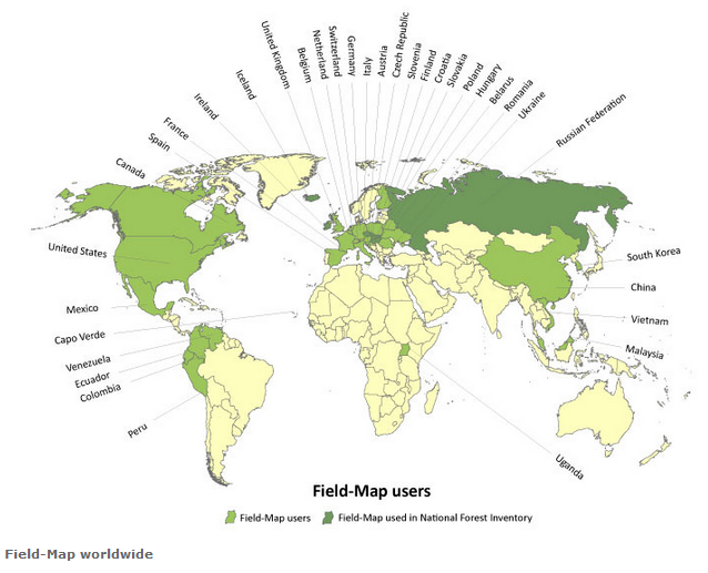
Countries using Field-Map (Source: IFER, FieldMap.cz)
• portable rugged computer (Getac)
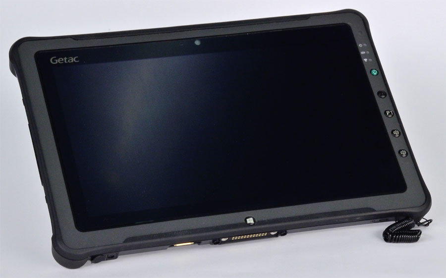
Pen controlled IP67 weatherproof tablet PC with two simultaneous battery feeds to support battery replacement without powering down the computer.
• electric compass and laser pathfinder
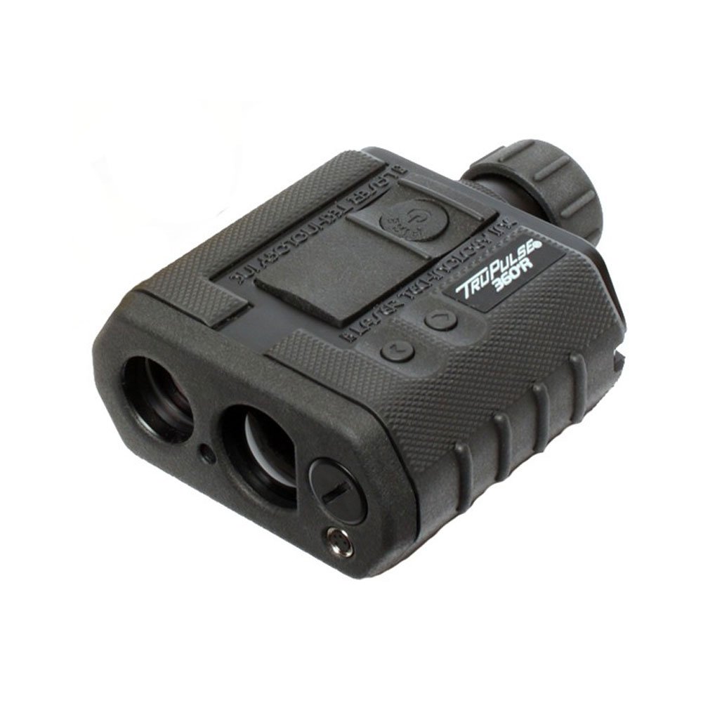
TruePulse 360 R is a high-precision instrument for determining direction compared to magnetic north, among other functions. Its level of integration supports cooperation with other data capturing tools, including Getac, which makes it suitable for geoprocessing tasks and for capturing the data of surveyed entities automatically. Including a laser operated telemetry unit designed to measure distance, height and vertical angles. Its special features render it truly easy to use in forest stands where improper reflections and erroneous measurements can be filtered out with the help of its reflector prism.
• spider
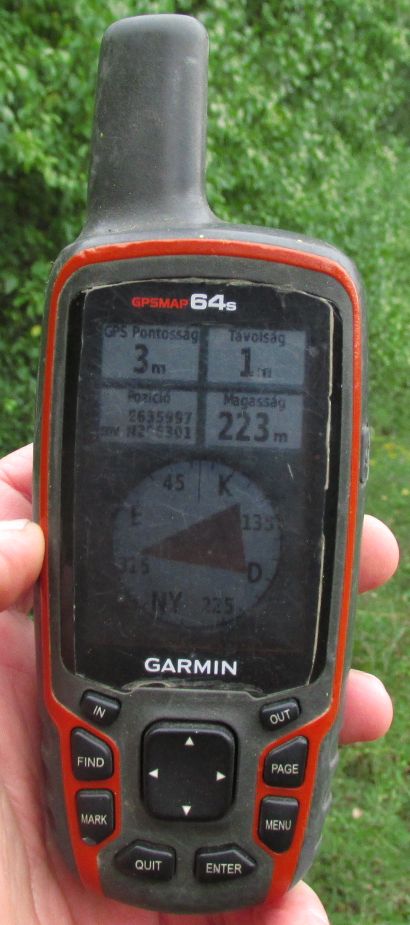
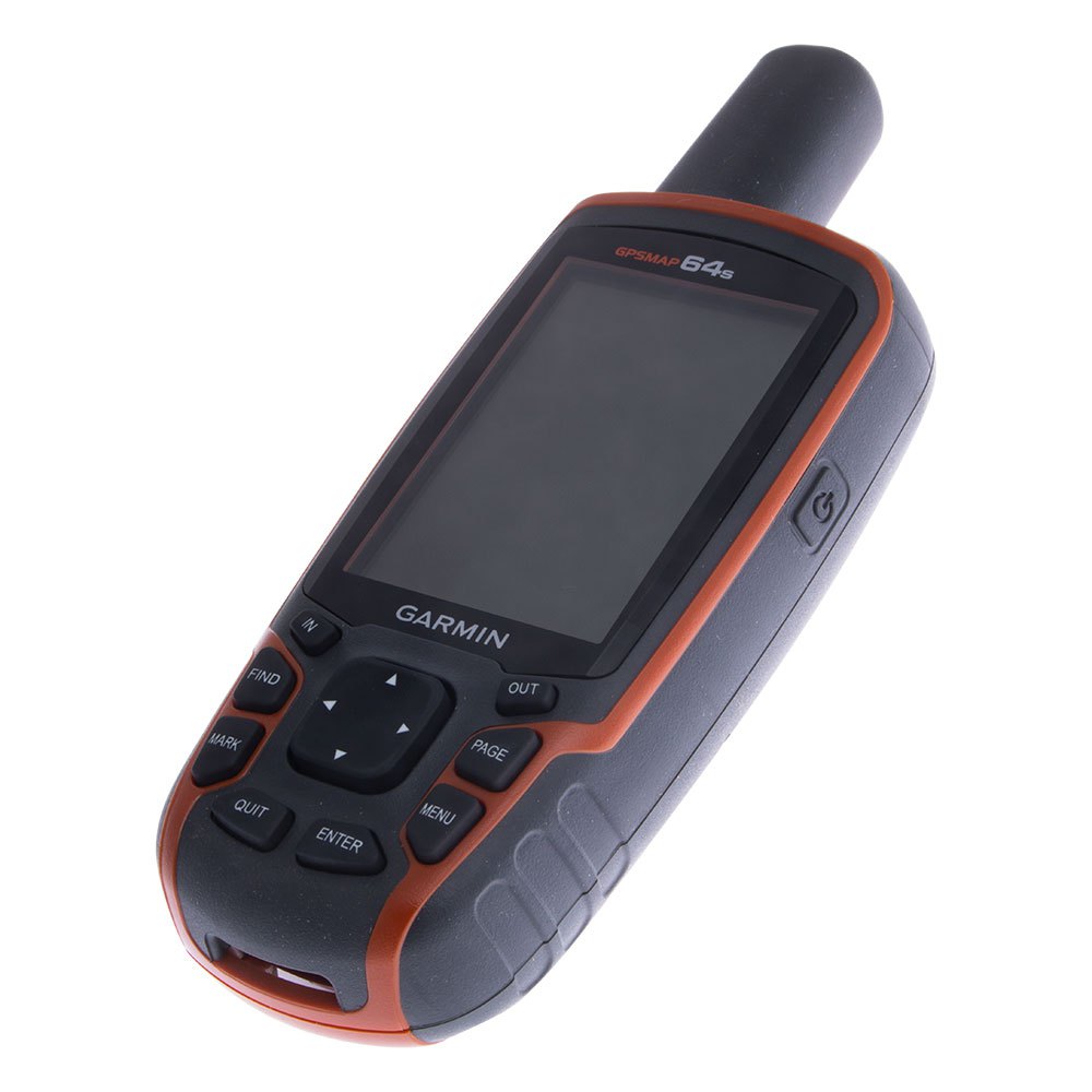
Additional instrumentation and tools• GPS
Garmin 60cx and Garmin62 csx navigation GPS help visit and mark sampling points. They operate reliably under forest stand.
• camera
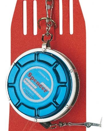
• spring operated measuring tape
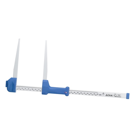
• calliper (manual)
• 2 m surveying rod
• cylindrical prism
• increment borer
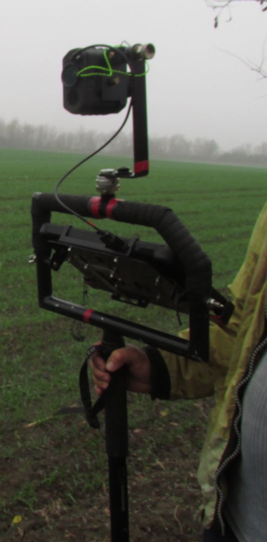
Assembled Field-Map measuring station