Background
The history of taking large-scale forest inventories goes back in Hungary to around 1966 when a pilot study was carried out to assess forest land of 320,000 hectares in an area of a forest management firm in Szombathely. A partly systematic and partly random sampling process was developed with reference to procedures in use in Sweden, Austria and Germany. The area of the forest management firm was divided into 800 hectare squares, and the squares were subjected to temporally linear and circular sampling. As the results of both the circular and linear tests were recorded for the same area, the pilot project also helped put to a practical test a wood volume function developed earlier.
Connections exist between the development of the current statistical forest inventory and former monitoring systems. The first systematic nationwide sampling started at the intersection points of a notional 4 × 4 km grid of the Forest Protection Network (FPN). By increasing the density of nodes across the FPN (shifting the intersections to 2 × 2 km) a 2.8 × 2.8 km grid was formed to support the project Observing Stand Growth (OSG), with the corner points of 200 × 200 m squares (tracts) placed at the nodes of the grid providing the sampling points. Sampling was performed in sampling circles of varying radius. Forest administration staff started to perform the first OSG surveys (or the initial forest inventory) at these tract sampling points in 1993. Terrain sampling data were collected outside the vegetation period, which is why the 1993 collection of data can be referred to as the data collection of 1992-1993. Data were collected at 1/5 of all of the nodes each year to ensure that the system remained fully representative. Accordingly, a single data collection cycle contained data collected over a period of 5 years. The first cycle (1993-1997) was followed by two additional rounds (1998-2002; 2003-2007).
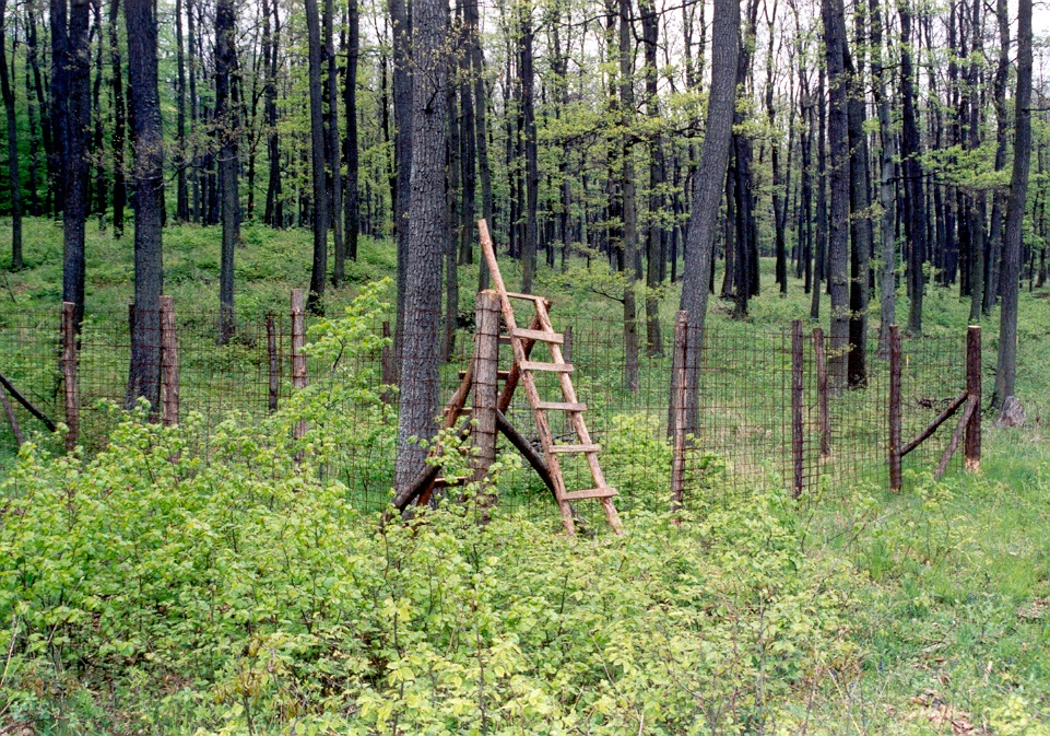
Wildlife and Habitat Monitoring (WHM) was a special study seeking to establish stand disturbances owing to wildlife.

Wildlife and Habitat sample area
Forest administration staff cooperate with the University of Western Hungary to perform sampling at around 300 sampling plots in 2002, 2003, 2004, 2006 and 2008. The selection and shaping of sampling plots followed stringent rules, but was not systematic due to the nature of the assessment. The WHM project was designed to compare herbaceous plant, regeneration and shrub layer in areas populated by Hungary's most important stands of native species (beech, hornbeam-oak, pedunculate oak, sessile oak and Turkey oak forests) visited by and protected from large game. After the WHM survey were closed, some of the elements were integrated into the forest inventory system.
As part of a project seeking to modernise forest resource assessment, Field Map tools were procured in 2008 and were tested for a year. The experience gathered was used in launching Unified Forest Monitoring (UFM), which can be regarded as a fully-fledged statistical forest inventory. In-terrain sampling jobs were also performed by forest administration staff employed by the national level organisations (Forest Directorate of the Central Agriculture Office Centre and NFCSO FD) rather than at county level. The method of sampling along with the methodology and first and foremost the objectives of forest resource assessment were reviewed. Due to the scarcity of resources, the first cycle of sampling was limited to the tract points of the original 4 × 4 km sampling grid, which did not, however, exert a considerable adverse effect on the reliability of the results, as studies have demonstrated.
When the statistical forest inventory project was launched other methodological changes were also introduced in addition to improving sampling. Former sampling circles with varying radiuses were replaced with a sampling plot identified by a constant radius using 3 concentric circles to increase reliability, where trees a covered by the sample based on different diameter limits. In contrast with OSG, sampling plots were selected independently of the areas subject to forest plans and the FAO/COST E43 definition of forest land area was used to replace the former definition. In addition to measuring stand parameters and growth rate, several other studies of habitat characteristics were integrated into the system. Studies were broadened to cover stationary and lying dead wood, stumps, shrub and herbaceous cover, regrowth and browsing damage to wildlife in addition to animate trees.